2021 was another exciting and successful year for the DroneBase team. With 2022 already well underway, we’re determined as an organization to maintain that positive momentum and deliver for our customers as the leading intelligent aerial imaging company for high-value infrastructure.
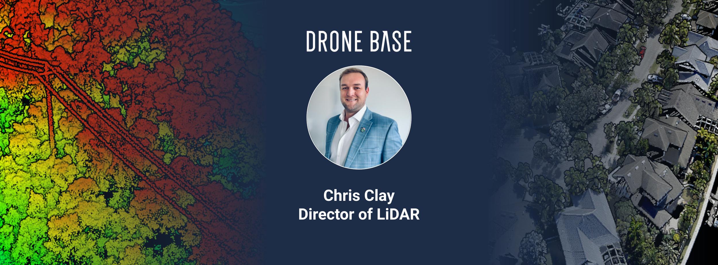
We’re investing heavily in advancing our technology solutions by bringing in top talent from aerial imaging and asset-specific industries. With that, I’m pleased to welcome Chris Clay to the DroneBase team as our Director of LiDAR. Chris is a geospatial expert and former senior employee at multiple drone technology companies with extensive knowledge of LiDAR technology, mapping, remote sensing, and operations.
Chris joins DroneBase as a driven and progress-focused professional, bringing more than 12 years of experience working in the remote sensing industry, including certifications from the National Geospatial Intelligence Agency College in LiDAR, Multispectral, Hyperspectral, Infrared, and electro-optical satellite-based analytics.
An accomplished 7-year Army veteran, Chris will lead DroneBase’s mapping and LiDAR program, ensuring the overall success of DroneBase’s LiDAR technology program and accelerating DroneBase's market leadership with high-performing companies in the construction, property management, insurance, and renewable energy industries.
“I am honored to become a member of DroneBase’s elite team of professionals and look forward to changing lives with the data and analytics tools we can develop and refine together,” Chris says. “I see what this technology integration can do for people all over the world, and to have the opportunity and trust from Dan Burton to lead the charge with LiDAR humbles and motivates me to deliver a best in class solution.”
Having spent more than a decade working with LiDAR technology for both military and civilian applications, Chris Clay has one of the most unique backgrounds in the industry. DroneBase is investing heavily in advancing our technology solutions and we see Chris and the capabilities of LiDAR data as a big part of that equation. I’m thrilled to welcome a fellow veteran and true pioneer in LiDAR and mapping technology to our world-class team of subject matter experts.
As DroneBase looks to the future, LiDAR and mapping are set to grow into a more prominent role in land development, inspection services, engineering, and generating digital twins, with Chris at the helm, we expect to be at the forefront guiding this innovation.
The DroneBase AEC, Mapping, and LiDAR team, including Chris, will be at GEO Week ‘22 click here to schedule a meeting time to learn more about DroneBase's construction, mapping, & LiDAR solutions.