Roof inspectors, construction project managers, surveyors, and farmers rely on aerial technology to provide images of crop damage, roof damage, terrain features, and vantage points that cannot be perceived from the ground. As drones become more widespread and multifunctional, drones are becoming practical tools across even more industries in a variety of ways. What follows is how drones are being leveraged across various industries to improve safety and efficiency.
Eye on Hazards
One look at the wildfires in the western United States and you begin to appreciate the improved safety of using drone imagery. After wildfires destroyed a large portion of Pateros, Washington, drones were able to enter areas inaccessible to insurance adjusters, firefighters and other personnel. The first post-fire images arrived via drones. Drones collected images and data that enabled insurance agents and real estate personnel to quickly view damage and begin assessments.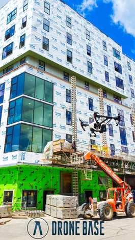
Not all drone images are quite as dramatic as post-wildfire scenes. Typical drone use is a bit more mundane. When professionals seek aerial images, they are looking for preventive data. They want to assess risk and potential hazards before accidents happen.
For instance, real estate agents interested in selling large acreages of undeveloped land collect better data from drone-captured aerial imagery than they can obtain from Google Earth or from a drive on the land's back roads.
When compared to on-the-ground efforts, the data captured via drones will be safer, up to date, possess greater detail, and the time spent gathering visual data and making assessments will decrease.
Construction crews will know if trees have fallen, roads are blocked, and even the type of terrain they are dealing with, all without having to deploy personnel on the ground. When crews do arrive on the ground they will know what to expect. Knowing what lies ahead of curves is one way to keep personnel and machinery intact and safe.
Risk Management
Building inspectors, particularly roof inspectors, know that keeping other people safe is risky business. If you are a roof inspector, then you have experienced steep grades, unruly slopes, damaged supports and poor traction. You have most likely inspected roofs after damage has occurred, when such inspections are most dangerous.
Now factor in other concerns, like damaged gutters and chimneys.. Drones have the capability to zoom in and record detailed information, which limits risk to both property and personnel. Inspections undertaken by drones are a clear safety advantage compared to the traditional means. Seeing as roof inspections can be one of the most dangerous jobs out there, it is no wonder why property managers and insurance companies are conducting drone roof inspections.
Personnel and Cost Management
When it comes to personnel and budgets, the Minnesota Department of Transportation has a first-hand understanding of the value of drones. The agency conducted a study and advised that drones
...should be considered for routine inspections to improve the quality of the inspection by obtaining information and detail that may not be readily obtained without expensive access methods.
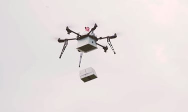 Other studies were performed by the Michigan DOT, with 17 other states also researching the efficacy of drone inspection programs for public infrastructure.
The Michigan DOT found that drone inspection saved on personnel time and the number of people required to perform safety inspections. In their case study, researchers found that while traditional on-the-ground bridge inspections required four people to complete eight hours of work, drone inspections required two people and two hours. And the savings? A typical $4600 expense dropped to $250.
The main take-away from these government supported drone studies: drones increase savings, in both fiscal and personnel terms.
Efficient Distribution
While agriculture, real estate and construction are industries that highly benefit from drone footage, any industry or organization that requires access to hard-to-reach areas benefits from drone technology’s flexibility and cost-effectiveness.
For these reasons, humanitarian and government agencies are investigating UAV technology. This brings us back to natural disasters, like the fire in Pateros, Washington or even typhoons and hurricanes in coastal areas.
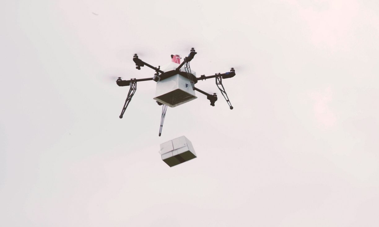
When people are cut off from medical supplies, or worse, if people are in a quarantine situation, it is essential for biological samples to be flown out and for medical supplies to be flown in. Drones have an advantage over other aircraft in that they don’t require a large landing zone or other preparations. This was proven during disasters like Typhoon Haiyan in the Philippines, when drones were used to provide aid.
In emerging areas, where infrastructure has yet to keep up with urban progress, or when terrain makes it impossible for traditional infrastructure to transport goods, established drone ports are a means to increase efficient distribution of needed materials. This isn’t a theoretical proposition. British architect Norman Foster is pursuing a drone port system in Rwanda, a rapidly growing African nation. He told The Guardian,
...The dearth of terrestrial infrastructure has a direct impact on the ability to deliver life-giving supplies, indeed where something as basic as blood is not always available for timely treatment. We require immediate bold, radical solutions.
His radical solution? Drone ports.
Although DroneBase isn’t involved in medical supply delivery and some of the other awesome cases above, we can help improve the efficiency and safety of many tasks. We’ve done hundreds of construction and real estate jobs, as well as work on inspections, surveying, and mapping.
Check out DroneBase.com or contact us at hello@DroneBase.com to learn how we can help you improve safety and efficiency.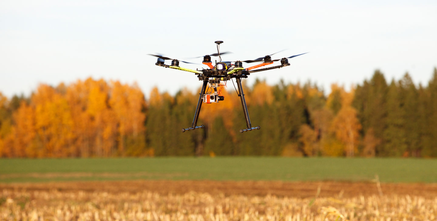




.jpg?width=360&name=Banner%20Templates%20(12).jpg)