Homeowners’ insurance premiums are derived off of a number of factors that an insurance underwriter considers. Some of the factors range from risk indicators, where the home is located, the demographic profile of the homeowner, the location, type of home, historical history of the home and those it compares to, etc. To help tie all of this data together, an inspection is needed in order to validate the property and its risk profile for the underwriter to offer a new quote or renewal quote for the homeowner.
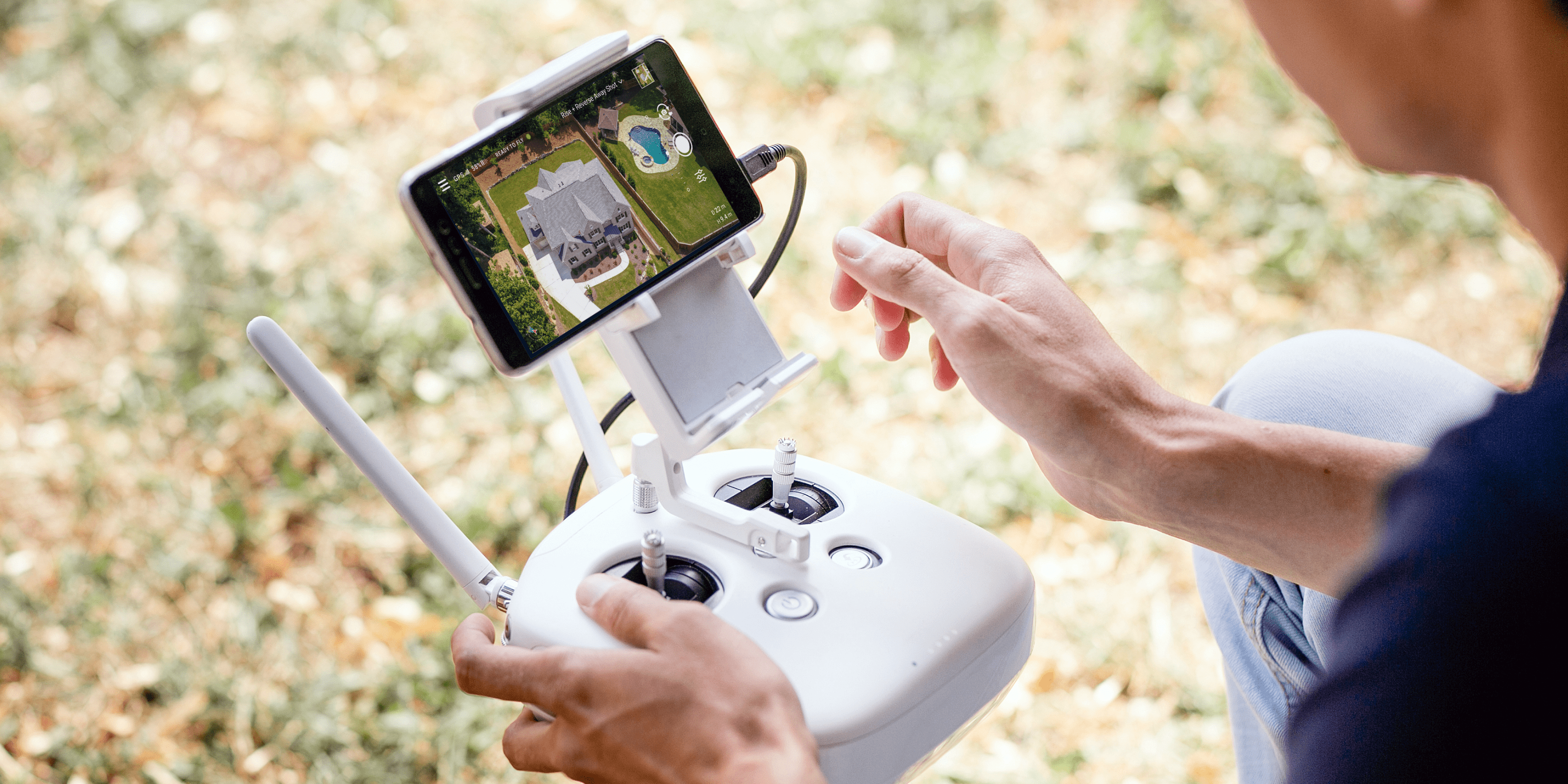
In order to make property inspections more efficient, many insurance companies have begun using unmanned aerial vehicles (aka drones). Drone inspections provide significant value to the underwriting or claims process by providing high-value property imagery quickly, all the while keeping people off of roofs and safely on the ground.
However, it is when drone imagery is integrated with underwriting and/or claims software platforms that the data captured, especially over time, becomes transformative. With drones capturing this data, insurers are able to examine a more complete picture of a site, gathering information that before was not available and gleaning new insights.
Using historical data to create comparisons in writing policies, insurers are able to assess whether or not today’s claim was caused by a problem festering for years. For example, sudden roof damage that manifests at a time unmarked by any major weather event may leave a homeowner without total coverage in the traditional inspection and claims processing model.
However, using drone software and comparison information, for example, the insurance professional would be able to pinpoint a time in the past when the roof was inspected just after the homeowner contracted a shingle layover. Perhaps, in drawing on that archived footage, the insurance pro sees a flaw in the contracted work, and is able to then trace the cause of the damage and place the liability on the appropriate party.
Quick Reporting with Drones
Another benefit of drone software integration is speed.
During time of inclement weather or impending natural disaster, such as Hurricanes Harvey and Florence, insurance companies have their hands full. Using drones for property inspections and integrated software to create instantaneous loss reports keeps adjusters moving through the steady stream of claims from policyholders.
When drone technology and software work together with accurate data to provide a full picture of the loss, insurers are provided with the ability to manage large numbers of property claims accurately and efficiently. In turn, this bring the homeowner whole faster creating greater customer loyalty and satisfaction.
The combination of safe measure, speed, and increased reporting capabilities leaves insurance providers hard pressed to find drawbacks in capturing aerial property imagery and integrated drone software.


.jpg?width=360&name=Banner%20Templates%20(12).jpg)
