Surveyors are increasingly leveraging drone technology for LiDAR data capture. When paired with fast and agile drones, LiDAR technology is able to yield accurate, high-resolution surveys, without any danger to a crew. But how is that data captured, and how is it used?
How LiDAR Data is Captured via Drones
LiDAR scans use laser technology to capture a 3D image of the terrain below. Drone technology isn't the only option for LiDAR; LiDAR scans can use planes or helicopters as well – any type of aircraft. But drone technology has significant advantages over these other options. Drones are more maneuverable and can fly lower to the ground, thereby providing higher resolution scans. Drones are also safer: Unlike planes and helicopters, a drone doesn't risk an on-board flight crew. While it’s true that modern aviation is incredibly safe and accidents are few and extremely far between, “no” risk still outweighs “very little” risk.
While LiDAR scans are more expensive than photogrammetric ones, they are more accurate. Photogrammetric scanning uses 2D images and analysis to project 3D maps, while LiDAR takes actual 3D data. Drones can save money; they are cheaper than either planes or helicopters, and they are easier and faster to deploy. With planes and helicopters, a crew needs to be requisitioned, and the appropriate permits are required.
So, how is the data captured?
First, the surveyor develops a flight plan. Multiple drones may be used at once, and different types of drones could be used for different applications. Either way, professional surveyors will next set up aerial-facing ground targets across the site. This ensures the correct orientation for the drones and sets the right survey boundaries.
Drone survey companies have multiple drone platforms available. Landpoint primarily operates both a fixed-wing Sensefly eBee (for longer distance flights) and a quadcopter DJI Matrice 200 (for higher precision surveys which require hovering). Flight time will need to be calculated into the total project time, as LiDAR equipment can be heavy, and the drones do have a limited battery capacity.
Most drone surveys can be completed within a day, depending on the amount of land that has to be surveyed. This is important: Many surveys usher in the start of projects, and any delay in the survey or increase in survey time could lead to the project itself being delayed.
How LiDAR Data is Used to Create 3D Scans
LiDAR technology just collects the data; it doesn't analyze it. After the LiDAR scan, there will be thousands upon thousands of points recorded, a point-cloud representation of geographic terrain. This data isn't processed in the field, it's just a tremendously large data set that is meaningless without analysis. These 3D points still need to be turned into an actual terrain map.
Once the LiDAR data has been collected, whether by drones or otherwise, it will be processed and analyzed. This data needs to be analyzed correctly by an expert, as otherwise the data could be off by inches or even meters. Some survey companies have the capability to handle all the data collection and processing in-house. Not only does this lessen the chances for misinterpretation of point-cloud data, but it also improves turnaround time considerably.
LiDAR technology can be joined with photogrammetric technology to process data in both ways, with the 3D points as well as photogrammetric texture and coloration. This is more expensive than either option alone, but it provides extremely accurate, high resolution, and human-readable imagery.
How People Use Their LiDAR Data
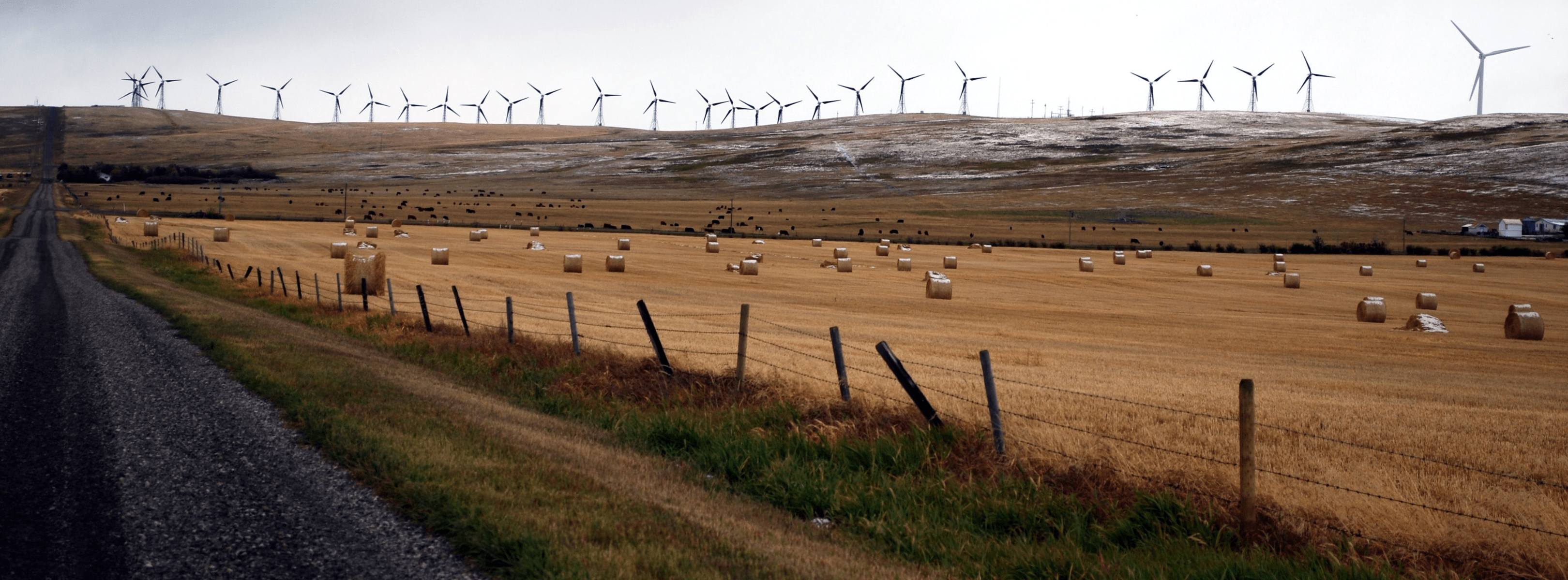
People use LiDAR data to build accurate 3D models of terrain. This can be used to help architects, construction project managers, and more. LiDAR is frequently used for mapping out projects pre-construction, or surveying areas for oil pipelines. Drone surveying and LiDAR can also be used for inspections, such as inspecting large scale operations such as wind farms.
Compared to photogrammetric imaging, LiDAR images are higher resolution and more precise. LiDAR can also cut through shrubs and overgrown territory, which photogrammetric imaging cannot.
Conclusion
Drones and LiDAR technology are uniquely well-suited to each other. Through LiDAR, drone surveyors can get more accurate imaging. Through drones, LiDAR gains enhanced mobility and maneuverability, which was previously less feasible with other aircraft. Either way, the surveyor is able to capture tremendously accurate data with minimal safety risk.
As drone technology advances, scans are going to become faster and more cost-effective. LiDAR technology is also growing in adoption, and is consequently becoming less expensive over time. Together, they're an excellent option for any company that needs to capture fast, high resolution surveys.
 |
This is a guest article written by Dustin Price, a licensed land surveyor and the Operations Manager at Landpoint. He leads the company's technical approach to delivering professional surveying services by providing tailored solutions using UAV technology. |


.jpg?width=360&name=Banner%20Templates%20(12).jpg)