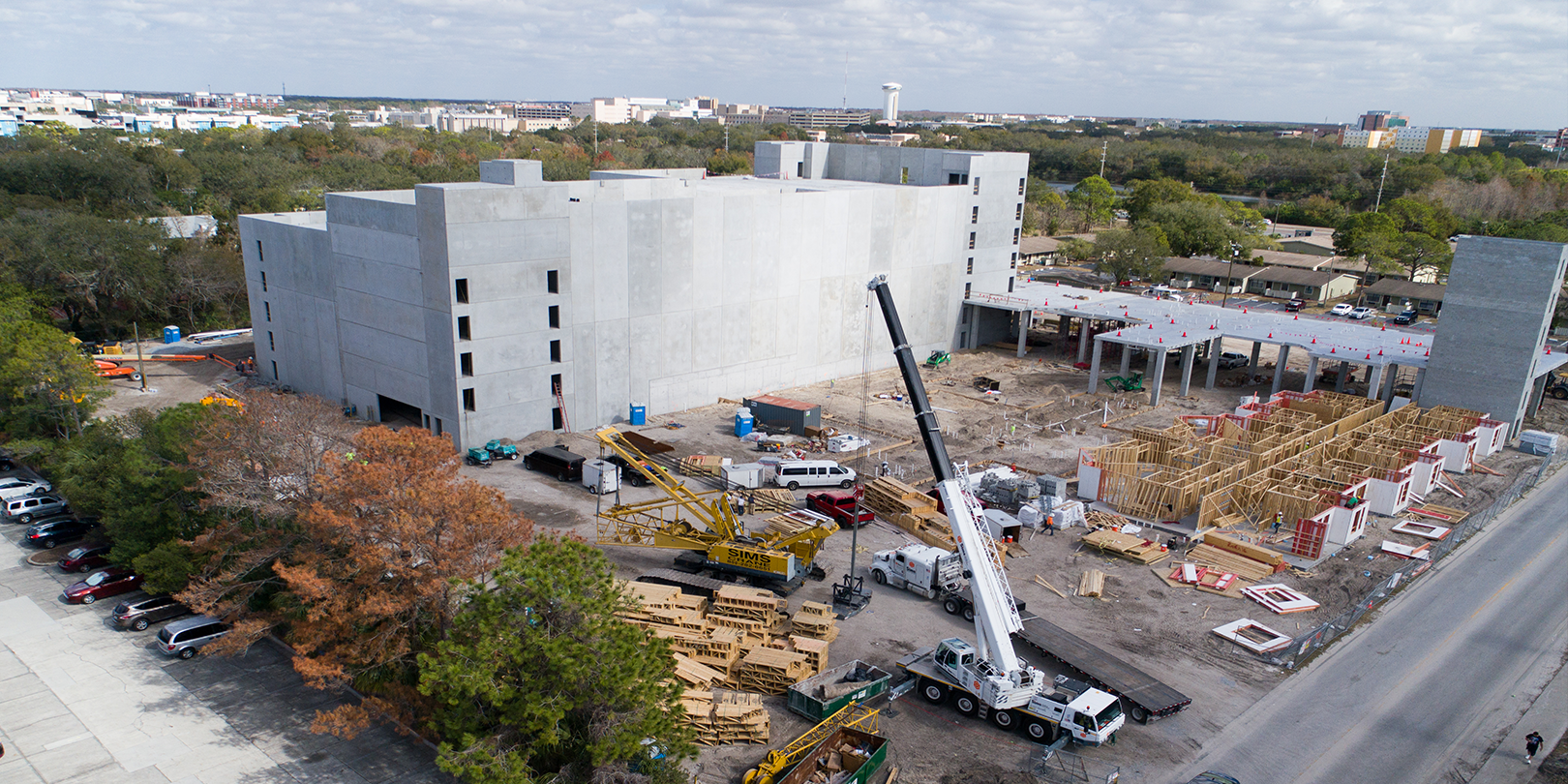
At this point in the evolution of the drone, the tech community is well aware of the benefits of UAVs in industries like construction, insurance, and real estate. In these spaces, drones primarily serve in their ability to provide a bigger, more complete picture of the work being done or the task at hand through aerial construction imaging.
What is not as universally understood is the way that drones are being utilized by businesses like those mentioned above, as well as those across other industries, as a survey tool.
Traditionally, survey data of a construction or urban development site, for instance, is collected by a ground based, manned team. These days, though, companies are recruiting the help of a drone for the same job.
Due to the low maintenance costs of newer model drones, the ability to deploy rapidly, and all the survey tools now available as UAV accessories, it is clearer than ever that UAV’s are the fastest, safest, and most thorough option available
Surveys conducted by drones are even more effective when companies are able to integrate their eyes in the sky with mapping software.
Here are four ways the info and analysis provided by mapping systems are helping drone users reach new heights in their logistics and business operations.
Automated Mapping
Automated mapping is the process by which maps are drawn in real time during a drone flight. This is done using control points, which are categorized as either known coordinates or actual physical markers strewn across the landscape that is being mapped.
As the drone flies, it records images of the area below in both high resolution and infrared. The imaging is then transmitted remotely and layered to map the are with extreme precision.
Cadastral Surveying
Cadastral surveying is a process that is essential to real estate and construction and development industries.
Here, the drone’s survey capabilities are leveraged to define boundaries of homes either for rent or for sale, as well as subdivide properties, record and acknowledge easements, and identify land massed and other impediments that affect land ownership.
The speed and accuracy of cadastral surveying using drones has huge implications on the real estate appraisal industry.
Volumetric Calculations
This is a classic adaptation of drone use by construction companies. Equipped with volumetric mapping software, stock piles, material extraction pits, and spoil heaps are quickly and easily measured.
This process is made possible through the creation of a digital surface model by which waste and material is then measured.
Construction companies are poised to lose big money if their stockpiles are not vigilantly monitored. With a manned team of surveyors, volumetric measuring can take up to a week. It is difficult to rationalize setting this slow, expensive process in motion when a project is barely on schedule as it is.
Lidar Mapping
Lidar is another means by which complex measurements are taken to create maps and scale figures. A drone equipped with a laser measuring tool shoots beams at distant objects, and collects the reflected light with a sensor.
Using the elapsed time of a beam’s round trip, the Lidar drone is able to report extremely accurate data concerning distances and orientations. Outfitted with a laser measuring tool, a drone can also create digital representations of objects, buildings, and the topography of an area in greater detail than traditional survey mapping.


.jpg?width=360&name=Banner%20Templates%20(7).jpg)