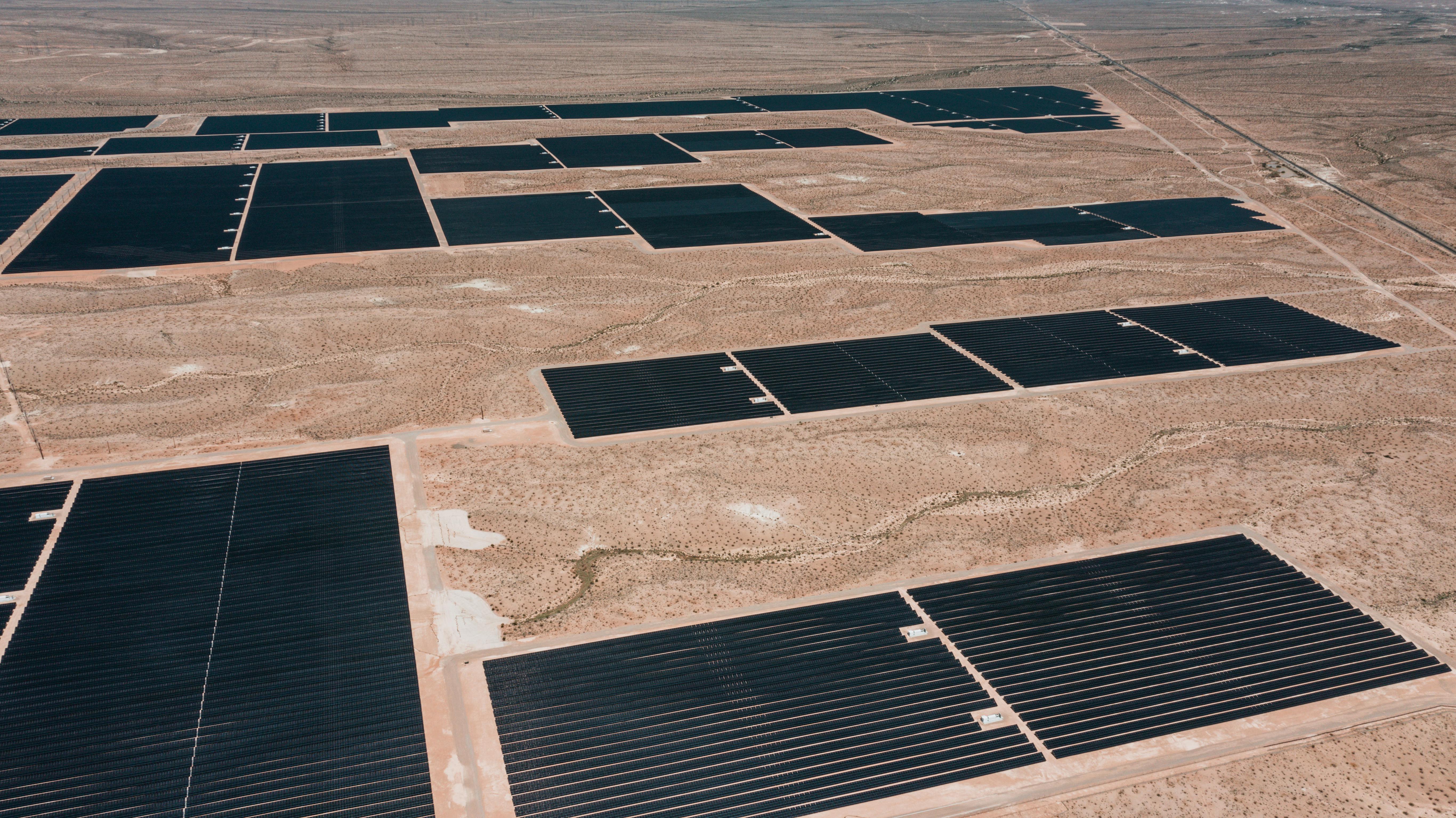
At Zeitview, our goal is to provide high-resolution inspection data that can be intelligently visualized for our customers throughout the entire asset lifecycle. We serve multiple verticals, including the renewable energy sector (solar and wind), and infrastructure sectors such as buildings, telecom, and transmission/distribution. For years, we’ve been providing construction monitoring services on major solar energy sites across the world, including the largest solar site in North America. We have worked closely with our customers to understand their requirements and build out new features to give them the oversight they need to ensure solar site construction stays on schedule and meets specifications.
Over the past year, we have received valuable feedback from our clients on how critical it is to have easy access to detailed records of how their sites are being constructed.
Our new Pre-Construction digital solution provides a major enhancement to Zeitview’s Construction Insights platform. We designed this feature to streamline the delivery of pre-construction data and enhance the transition to the construction phase. This tool allows asset owners and planning teams to easily understand the current state of the site directly in their browser, without the need for advanced engineering tools like AutoCAD and GIS applications. The platform simplifies decision-making and communication, while also providing raw inspection data for Engineering teams to perform detailed planning and work.
Why Solar Plants Need Pre-Construction Visualization
Pre-construction survey results in a variety of files such as CAD in DWG, Orthophotos in TIFF, 3D Digital Elevation Models, and LiDAR files in LAS/LAZ format. Viewing these files requires multiple sophisticated software platforms like AutoCAD, QGIS, LiDAR 360 and others. These tools are designed to be user-friendly for engineering teams — but not for business and strategy teams who need accessible tools to visualize all the files together for site and project planning.
The need for multiple sophisticated software also complicates data sharing and collaboration among stakeholders, particularly for teams outside of core engineering and solar site design who do not necessarily use these tools in their daily work. Business and strategy teams face significant challenges in accessing and acting on survey data, which can slow down strategic planning, budgeting, resource, workforce planning, and external collaboration.
What Zeitview’s Pre-Construction Visualization Feature Does
Our cloud-based web platform allows direct access of pre-construction survey files and bridges the gap between engineering and planning teams in solar site development, enhancing data sharing, communication, and collaborative decision-making. This access is crucial for selecting and preparing the optimal location for solar sites. Proper grading is essential to prevent improper drainage, flooding, and operational disruptions. Additionally, avoiding undulations helps prevent inter-row shading, which can lead to power losses.
The platform offers seamless visualization of site planimetric data, surface elevation profiles, and hydrology reports in both 2D and 3D views. It features 3D models of site elevation (DEMs) generated from LiDAR data, integrated with hydrology information to predict water movement and identify flood-prone areas. The inclusion of 2D orthophotos and planimetric data enables stakeholders to make informed decisions and take necessary actions at the site, ensuring effective project execution and optimal site preparation.
Our pre-construction survey results are designed to seamlessly integrate with construction and O&M inspection data throughout the asset lifecycle. By offering a complete asset lifecycle management solution, the platform ensures that all valuable data remains easily accessible for future reference. This comprehensive historical record supports improved performance, enhanced productivity, and increased longevity of solar assets.
Feature Highlights:
- 3D DEM Visualization: View the digital elevation model (DEM) in 3D to assess the current terrain and plan for site grading or leveling.
- Hydrology Survey: Visualize water channels and catchment areas to predict water movement across terrains and identify zones prone to flooding and erosion.
- Planimetric Visualization: View various site elements such as poles, dirt road, water, contours, powerlines, etc. overlaid over the RGB orthomosaic of the solar site.
- Raw File Exports: Download raw data from the pre-construction survey for Engineering teams to perform detailed planning and work, including CAD .dwg files, RGB orthomosaic and Hydrology as TIFFs, DEMs, LiDAR data as .las or .laz file.
Learn more about Zeitview's Construction Insights platform and construction monitoring services. Want a demo? Scroll to the bottom of the page and fill out the form.


.jpg?width=360&name=Banner%20Templates%20(12).jpg)
.jpg?width=360&name=Banner%20Templates%20(7).jpg)