Socket Wrench. Pliers. AutoCAD? A Software Tooling Guide for Construction Drones
Unmanned drones are being deployed in construction at higher rates than any other industry. In the last year alone, drone use on job sites has surged 239%.
This growth reflects a range of uses from surveying a build plan to providing security surveillance for a working site. Still, nearly 70% of drone use for aerial construction needs comes in the form of progress tracking and communication.
It is no wonder then, that project managers are the ones for bringing UAV’s to the job and have the most use for the drone’s capabilities based on their day-to-day responsibilities.
With so many projects falling behind schedule and over budget, the overseers of job sights are the ones who tend to be first to deploy drone reinforcement and consistently use the data reporting capabilities of drones to help manage operations.
With all that said, there is a huge void in the information out there for construction professionals on drone integration. Namely, how exactly are drones practically applied, in cooperation with other systems, to gather information and increase efficiency?
The short answer is that no drone system can provide this functionality on its own. Rather, data reporting and analysis takes place when drones are strategically paired with software systems.
Flat or Phillips? What Tools to Use & Why?
There are systems that exist for the purpose of gathering drone data, and also for the analysis of said data. As a construction professional, however, it is important to consider tech and software that works cooperatively to create maps and 3D models for planning, design, and the management of workflow.
One of the most sought after integrations concerns location for the purposes of surveying, planning, and design. Companies are using Ground Control Points (GCP’s) outfitted with GPS to calculate absolute positioning.
With GCP’s in place, data analysis software can help to report on information like area, volume, and distance with up to 99% accuracy.
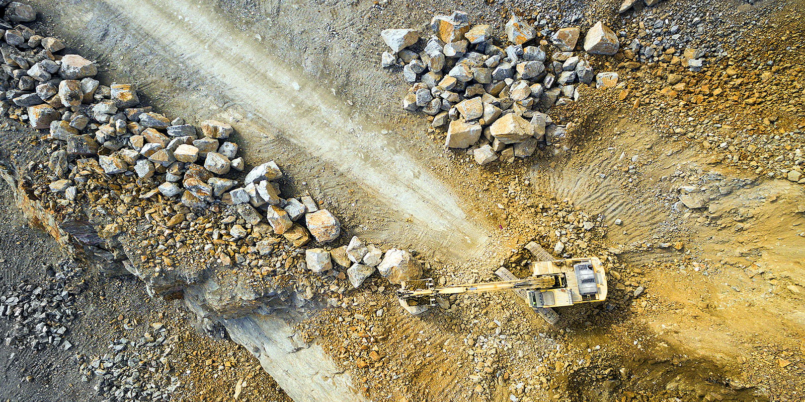
The Stockpile Solution
So what might construction pros use these numbers for? Drone reporting systems get a lot of use in quantifying construction stockpiles.
A stockpile refers to the volume of material allotted for specific component of a project. Often these stockpiles are miscalculated or neglected altogether, which leads to big losses of time and money.
Drone imagery combined with GCP’s and data analysis software can help estimate the value of stockpiles and track volume changes over time to ensure material is being used according to plan, saving companies time and money and holding all parties accountable for the work being done.
Ready to learn more about leveraging drone technology for your worksite needs? Get started today.


.jpg?width=360&name=Banner%20Templates%20(7).jpg)