Commercially-available unmanned aerial vehicles are not meant just for recreation and photography. Industrial quadcopters are currently being employed to handle various tasks that might otherwise endanger human lives. In this article, we are going to cover how UAVs can significantly improve the workflow and potentially reduce the costs of cell towers inspection.
This guide will walk you through the process of surveying cell towers using an industrial-grade drone and how this process translates into fewer resources spent on training and liabilities.
How Does the Process of Drone Cell Tower Surveying Work?
Drone surveying was born out of the need to reduce costs in the areas of personnel training and to, of course, cut back on the risks of injuries associated with manual surveying. Since data collected by UAVs is far more accurate compared to what can be visually observed, more and more companies have begun hiring contractors to survey and conduct repairs if necessary.
The process starts with a preliminary visual inspection of the cell tower and the surrounding area. This first step is essential since it determines whether or not the cell tower can be inspected with a drone. The contractor has to identify various hazards such as structural damage, intense EM activity and to plot a flight path.
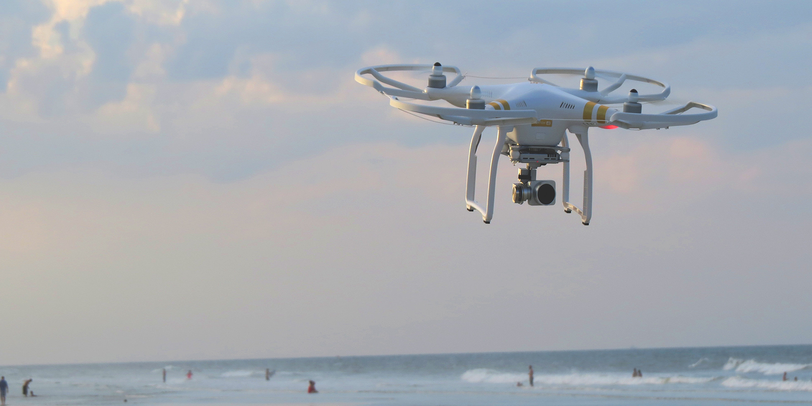
On that note, you should keep in mind as a potential candidate for the drone surveyor position that not all drones are suitable for this task. For more information on commercial drones commonly employed for surveying jobs, please refer to Droneista.com. There, you will also find detailed specs charts and attachment lists.
Note that this pre-survey step helps the contractor determine if the structure’s safe for climbing. Although the inspection’s done with an industrial drone, the subsequent repairs will have to be done by someone with the necessary qualifications.
Once the flight path’s plotted, the surveyor will take the drone up in the air. This is where the surveying process truly beings. While inspecting the cell tower, the surveyor must gather data for three types of undertakings:
- Equipment required to make the necessary repairs.
- Identifying and/or circumventing hazards and obstacles. Before making any type of recommendations related to repairs, the surveyor must determine what kind of obstacles and hazards the climber will face. Biological hazards, such as a wasp or bird nest, can easily be removed. However, if the drone identifies a nest belonging to an endangered species, the authorities must be called in before repairs can be attempted.
- Conducting a structural analysis to identify degradations or other issues that may compromise the tower’s functionality.
Drone data collection can be done in various ways – LIDAR, 3D mapping, thermal, high-resolution imagery, 4K video, and live streaming.
Can Commercial Drones Cut Down the Cost of Tower Inspections?
As you can see from our presentation, there are a lot of advantages to using autonomous commercial drones to survey cell towers instead of trained professionals, the most important being safety.
Long before drones became commercially available, cell tower inspection was a costly and lengthy process, usually involving a lot of manpower and heavy equipment. Obviously, the risk of injury was greater since climbers had no way of determining what kind of obstacles or hazards were ahead.
Moreover, even the most trained professional can sometimes overlook a flaw that can compromise the structure’s integrity. And there’s also the matter of issues that cannot possibly be picked up by the human eye.
In terms of workforce, the costs of doing even a single cell tower inspection can skyrocket considering that the individuals performing this task must be trained, adequately equipped, and have some type of liabilities.
With UAVs, the first thing you’ll have had eliminated is the risk of injury associated with the preliminary inspection. The drone can be replaced; human life cannot.
Another major advantage of having a drone doing cell tower inspection is, without a doubt, the amount of time you save. It takes a trained professional almost half an hour to get to the top of the tower. On the other hand, the drone can get up there in a matter of minutes, depending on the weather.
On that note, drones are your best bet at surveying structures during bad weather (wind, light snow or rain). As long as your drone is outfitted with powerful stabilization systems (and most structure surveying drones are), you won’t have any problems flying the drone when Mother Nature comes a-knocking.
Still, that doesn’t mean that you have to cut back on workforce just because your UAV can complete these types of operations. For instance, even though the pilot is the one who identifies and surveys structural points of interest, you still another visual observer to keep an eye on the drone during this inspection and, of, course, a trained professional capable of interpreting the data gathered by the drone.
The process in itself isn’t cost-free. However, compared to more traditional approaches, costs are cut back by almost 60 percent if not more.
Another interesting aspect you should keep in mind is that you don’t need to keep a drone surveying team in your company for these checkups. There are plenty of freelancers out there ready to tend to your needs.
Conclusion
As you can see, UAVs have become an indispensable tool in the cell tower surveying business. Not only are they more accurate in detecting issues easily omissible by the human eye, but they can definitely cut back on the costs associated with this kind of undertaking.
The following post is a guest contribution written by Mark Chesterman for DroneBase.


.jpg?width=360&name=Banner%20Templates%20(12).jpg)