One of drone technology’s biggest benefits is something that can be difficult to quantify: situational awareness.
The term can mean different things in different contexts. But when it comes to drones, it’s all about harnessing the aerial perspective, using quality sensors to gather the information you need to make smarter decisions.
In public safety operations, improved situational awareness can ensure fires are extinguished faster and lead to more successful rescue missions. In industrial contexts, the same benefits of similar tools translate into results that are just as impactful.
Take architecture, engineering, and construction (AEC) as an example. Drone technology is proving its worth at every stage of large-scale projects through objective insights from above.
The focus of this article will be on project progress. Specifically, how drones can be used to support ongoing project management and help construction managers stay on course.
Insights into Construction Progress
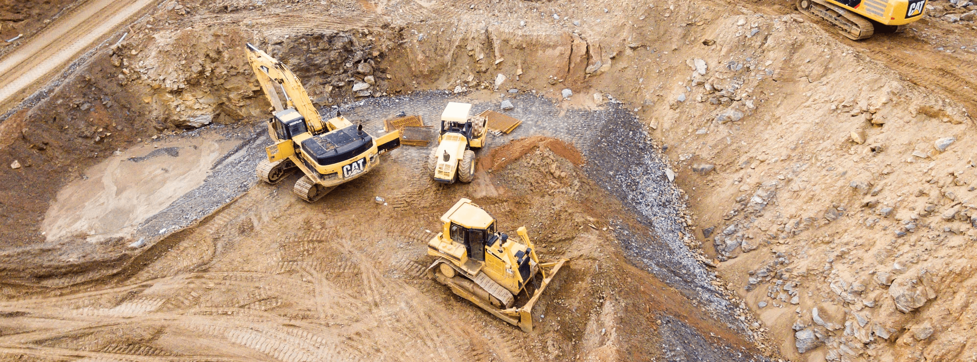
With high-resolution photographs and videos from above, project managers can track project progress objectively. That aerial perspective can be the foundation for smarter, more efficient operations.
The depth of data drones provide is flexible and scalable. For one site it might mean a simple series of photos, a monthly overview that’s used to keep external stakeholders in the loop. For another, it might span weekly flights, orthomosaic maps, and up-to-date 3D models.
With the latter approach, drones become an integral tool on complex projects. Construction is an industry that’s always involved tight margins. Aerial data can support the process of allocating resources effectively and minimizing costly errors.
All of this data can be gathered with relative ease and at a low cost compared to traditional methods, with powerful insights generated using smart software. But more on that later.
Beyond the ease with which data can be gathered is its quality. With precise, automated flights, high-resolution cameras, and thermal sensors, construction managers have more information than ever at their fingertips and are in a position to make better-informed decisions as a result.
How Drones Can be Used in Construction
Maintaining project progress doesn’t only involve taking steps forward and sticking to the plan. It’s also vital to cut out mistakes that have the potential to derail things altogether.
Left unchecked, there are all kinds of issues that can disrupt and delay construction work. Many of these are best spotted from above, from safety hazards and property damage, to stockpile management. As we’ve touched on, there are three main ways that drones can be deployed to aid project progress:
Construction Monitoring
Aerial photography can be arranged at a cadence to suit you, providing the data you need to keep projects on track. Objective visual updates can be used to keep stakeholders in the loop, ensure plans are being followed, and show progress over time.
Orthomosaic Maps
Drones can be used to gather the images you need to build detailed, geometrically-accurate maps of your worksite -- also known as an orthomosaic. Most commonly used in the preliminary planning stages of a construction project, these maps provide the foundations for everything that comes after. They can also be overlaid with key environmental data and information regarding existing structures.
3D Maps & Models
3D Maps & Models are versatile visual tools that allow you to collaborate, plan, explore, and track project progress over time.
For more information on using drones to support the progress of your construction project, head to our AEC page.


.jpg?width=360&name=Banner%20Templates%20(7).jpg)