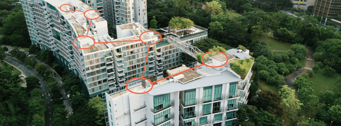
The Hanover Insurance Group Inc., a property and casualty insurance carrier for homes and...
Aerial Inspection,
Company Updates,
Drone News,
Insurance
DroneBase Expands Partnership with The Hanover to Enhance Underwriting & Loss Control Inspections
The AEC Insights platform introduces a new solution to collect and visualize construction site...
Our Drone Operator Insight Series spotlights some of the people who are advancing the drone...
In coordination with the Alliance for Drone Innovation (ADI) we're excited to bring you the Drone...
Customers,
Inspection,
Insurance,
DroneBase Insights
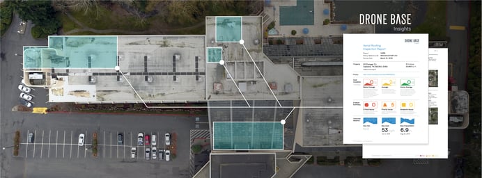
DroneBase Insights: How Central Insurance is Using Roof Reports
In 2019 we announced a new technology utilizing drone data to provide analysis and reporting in...
2019 saw a considerable increase in the use of drones for commercial purposes, ranging from aerial...
There are few industries in business today that do not yet employ drones. Real Estate, Insurance,...
Drone Technology,
Property Management
What is an Orthomosaic Map and How Does Mapping Benefit My Property?
An orthomosaic (interactive drone map) is a geometrically correct aerial image that is composed of...


